See the Ring of Fire as it moves
Live earthquake maps from the USGS, a Holocene volcano catalog from the Smithsonian GVP, and a one-year snapshot of global seismicity — with an auditable Pacific Rim corridor definition.
Initializing map…
Yearly snapshot
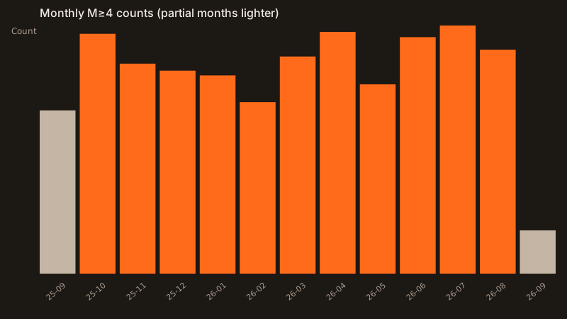
USGS FDSN catalog · 2025-09-13 → 2026-09-12 UTC · from SUMMARY.json
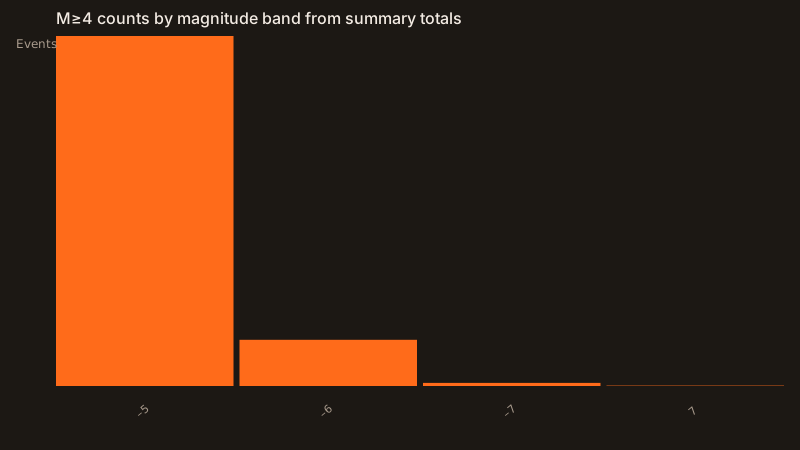
Strongest in window: M7.8 — 64 km NNW of Ende, Indonesia (2026-08-14 21:58:21 UTC). RoF share = 13,117 / 16,268 M≥4 events inside documented corridor rectangles.
Last significant quakes
Full alerts digest →Catalog charts
From on-disk USGS CSV summary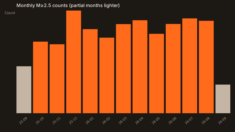
Guides, regions, and tools
All guides →Faults and trenches
Cascadia, San Andreas, the Japan Trench, Chile, Alaska-Aleutian, and New Madrid.
Volcano profiles
Major arc volcanoes from the Smithsonian snapshot, plus Hawaiʻi as the hotspot contrast.
Tsunami alerts
What warning, advisory, watch, and information statement mean.
Magnitude and energy
The USGS 10× amplitude and about 32× energy rule, applied to two numbers.
Largest since 1900
The USGS list of 20, linked to the region page for each Pacific event.
ShakeAlert
Early warning after a quake has started. Not a prediction.
FAQ
Straight answers, including the one about predictions.
Glossary
Short definitions linked to the longer pages.